Operations
Aviation Weather continued...
METAR / TAF
For flight planning the METAR and TAF of the departure and
destination airport are relevant. The TAF is a
weather report generated at a particular airport and
issued 4 times a day that predicts the weather
conditions at that airport. I get the information
from the TOPCAT Take-Off and Landing Report. TOPCAT
itself gathers the data from the ASE 'current weather
snapshot'. For more information regarding the
setup see 'here'.
METAR / TAF example:
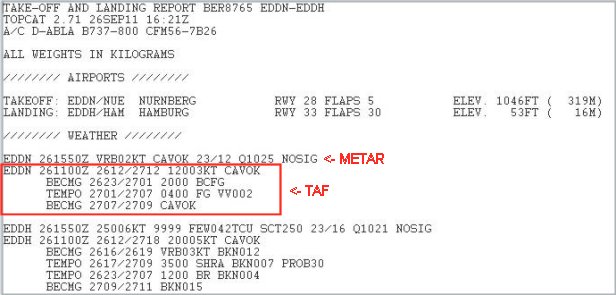
METAR and TAF report of the TOPCAT Take-Off and
Landing report. Data sourced by the ASE 'current weather
snapshot'.
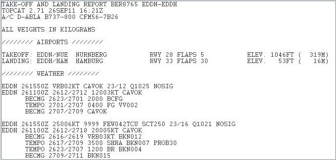
Click the icon to see report full size.
Decoded weather forecast (TAF) EDDN, 26. / 27. Sep. regarding visibility:
| 26., 1100Z | Ceiling And Visibility OK |
| 26. / 27. , 2300Z - 0100Z | Visibility 2000 m, patches of fog |
| 27., 0100Z - 0700Z | Visibility 400 m, fog, vertical visibility 200 feet |
| 27., 0700Z - 0900Z | Ceiling And Visibility OK |
ATIS
-
Automatic Terminal
Information Service
TAF - Terminal Airport Forecast
Weather Maps
Aviation weather maps are available from several
sources. The map below shows the significant European
weather 25-Sep-2011, 12:00 UTC.
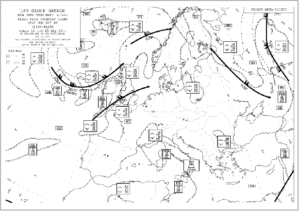
Source:
http://www.flyingineurope.be/aviation_weather_maps.htm

Click the icon to see weather map full size.
Wind maps can also be obtained from IVAO:
http://network.ivao.aero/weather_maps